Understand the land
In spring 2021 we commissioned a custom LIDAR survey of our small 15 acre property. The crew created a flight plan map and then flew a LIDAR equipped drone across our property. This generated 3gigs+ of data about our tree’s, canopy, species, and layout.
Using Lidar to map the property
Flight Plan
We started by creating a flight path for the drone to fly with the LIDAR equipment to accurately measure the property. This flight generated 2 gigs of data about our small chunk of land.
Under the covers
Our property features rolling topography with a meadow, ravine, creek, and waterfall. This image shows the contours of the land with all of the vegetation stripped away.
Healthy Forest
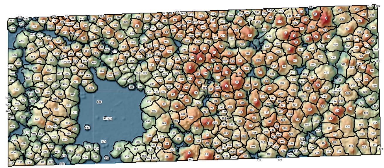
The LIDAR data allows us to view the relative size of the tree’s across the property in great detail. This data allows us to understand the forest and build a management plan.
Mapping Every Tree
From the lidar data we are able to generate a map of every single tree on the property. For every numbered tree on the map we also have the background data of how high it is and the GPS placement.

